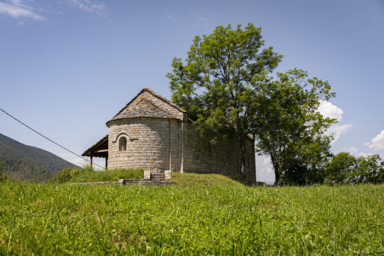
Route to Segadell Springs along the old Santa Magdalena path
A panoramic route with spectacular views of all the Cavallera Range. The Segadell springs are the source of one of the main tributaries of the River Freser, which for centuries has served to water the fields of the whole valley.
Other routes of interest
-
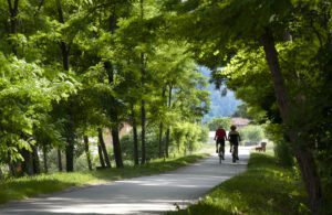
Greenway - Iron and Coal Route
-
Difficulty: Medium
-
Distance: 28km
-
Accumulated drop: -
-
Time: 6h
-
-

From Queralbs to Fontalba route
-
Difficulty: Short
-
Distance: 6.25km
-
Accumulated drop: 901
-
Time: 3h
-
Greenway - Iron and Coal Route
-
Difficulty: Medium
-
Distance: 28km
-
Accumulated drop: -
-
Time: 6h
From Queralbs to Fontalba route
-
Difficulty: Short
-
Distance: 6.25km
-
Accumulated drop: 901
-
Time: 3h

Create your route
Create your route and download the application to your mobile phone so you can enjoy it instantly.

