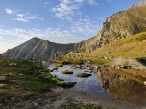
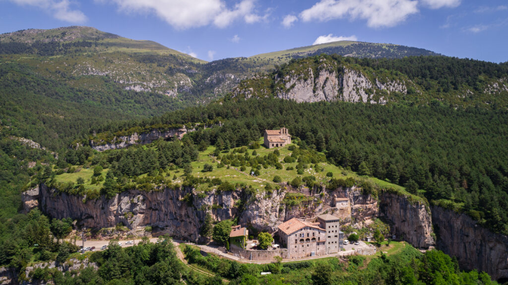
Gombrèn – Montgrony
This trail starts in the centre of the village and follows the Itinerànnia hiking trail network to the shrine of Montgrony. Enjoy the cultural heritage and natural areas that this route has to offer!
-

DIFFICULTY
Short
-

DISTANCE
6.4km
-

UNEVENNESS
-

TIME
2.30h
-

ROUTE TYPE
Round trip
 ValldeRibesiMontgrony-26
Other routes of interest
-
Ulldeter Trail
-
Difficulty: Medium
-
Distance: 4.5km
-
Accumulated drop: 345m
-
Time: 1.25h
-
-

Following the river Ter. Stage 7B Walking Tour of El Ripollès
-
Difficulty: Medium
-
Distance: 17.7km
-
Accumulated drop: 180
-
Time: 4.75h
-
Ulldeter Trail
-
Difficulty: Medium
-
Distance: 4.5km
-
Accumulated drop: 345m
-
Time: 1.25h
Following the river Ter. Stage 7B Walking Tour of El Ripollès
-
Difficulty: Medium
-
Distance: 17.7km
-
Accumulated drop: 180
-
Time: 4.75h

Create your route
Create your route and download the application to your mobile phone so you can enjoy it instantly.

