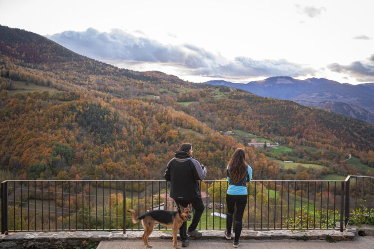
Route of the old road between Ribes de Freser and Pardines
Path that traditionally communicated the village of Pardines, located at 1 200 m above sea level and over the river Segadell, with Ribes de Freser, the commercial and administrative centre of the valley. Pardines still preserves its cobbled streets and the charm of the high-mountain villages. Please, respect the sheep tracks and remember to close the electric fence!
Other routes of interest
-

Santa Magdalena de Perella
-
Difficulty: Short
-
Distance: 6.7km
-
Accumulated drop: 225m
-
Time: 2.50h
-
-

Planoles neighborhood route
-
Difficulty: Short
-
Distance: 5.40km
-
Accumulated drop: 146m
-
Time: 2.12h
-
Santa Magdalena de Perella
-
Difficulty: Short
-
Distance: 6.7km
-
Accumulated drop: 225m
-
Time: 2.50h
Planoles neighborhood route
-
Difficulty: Short
-
Distance: 5.40km
-
Accumulated drop: 146m
-
Time: 2.12h

Create your route
Create your route and download the application to your mobile phone so you can enjoy it instantly.

