Ribes de Freser – Taga – Ribes de Freser
“The Taga summit, with its 2 040 m above sea level, is the highest point of Serra Cavallera and a truly vantage point to enjoy the Eastern Pyrenees and the different Pre-Pyrenees mountain ranges.
Please remember to keep your pets leashed at all times as all this route is a pasture area.”

Other routes of interest
-
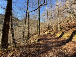
VORATER Camprodon Itinerary
-
Difficulty: Short
-
Distance: 3km
-
Accumulated drop: 172 m
-
Time: 1.5h
-
-
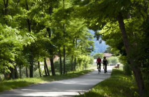
Greenway - Iron and Coal Route
-
Difficulty: Medium
-
Distance: 28km
-
Accumulated drop: -
-
Time: 6h
-
VORATER Camprodon Itinerary
-
Difficulty: Short
-
Distance: 3km
-
Accumulated drop: 172 m
-
Time: 1.5h
Greenway - Iron and Coal Route
-
Difficulty: Medium
-
Distance: 28km
-
Accumulated drop: -
-
Time: 6h

Create your route
Create your route and download the application to your mobile phone so you can enjoy it instantly.
