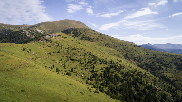
Ascent to the Costabona by the Collada Fonda
A relatively easy excursion, as it is a high mountain, where you can discover the values of the alpine landscape, and at the same time grasp the geographical limits of the Natural Park of the Capçaleres del Ter and the Freser.
Other routes of interest
-

Vall Llobre - Balmeta - Carboners
-
Difficulty: Medium
-
Distance: 12km
-
Accumulated drop: 850m
-
Time: 6h
-
-
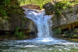
Torrent de la Cabana
-
Difficulty: Medium
-
Distance: 8km
-
Accumulated drop: -
-
Time: 3h
-
Vall Llobre - Balmeta - Carboners
-
Difficulty: Medium
-
Distance: 12km
-
Accumulated drop: 850m
-
Time: 6h
Torrent de la Cabana
-
Difficulty: Medium
-
Distance: 8km
-
Accumulated drop: -
-
Time: 3h

Create your route
Create your route and download the application to your mobile phone so you can enjoy it instantly.

