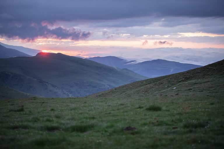
Pujada a Puig Cerverís des del Coll de Meianell
Short and easy route that offers extraordinary views of the Vall de Núria and the northern slope of the Sierra Cavallera. Crossing flat meadows, with small black pine forests and great diversity of flora.
-

DIFFICULTY
Short
-

DISTANCE
3.8km
-

UNEVENNESS
243m
-

TIME
2.20h
-

ROUTE TYPE
Circular
 ParcNaturalTerFreser-19 (1)
Other routes of interest
-
Ripoll's architectural route
-
Difficulty: Short
-
Distance: 1.8km
-
Accumulated drop: -
-
Time: 1h
-
-
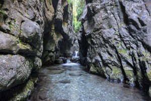
Queralbs route in the Forn district
-
Difficulty: Short
-
Distance: 2.20km
-
Accumulated drop: -
-
Time: 0.45h
-
Ripoll's architectural route
-
Difficulty: Short
-
Distance: 1.8km
-
Accumulated drop: -
-
Time: 1h
Queralbs route in the Forn district
-
Difficulty: Short
-
Distance: 2.20km
-
Accumulated drop: -
-
Time: 0.45h

Create your route
Create your route and download the application to your mobile phone so you can enjoy it instantly.

