Sant Roc de Ripoll viwerpoint
A route that allows us to observe the city from one of the four peaks that surround it and enjoy places with incredible panoramic views.

Other routes of interest
-

Campdevànol - Sant Llorenç
-
Difficulty: Short
-
Distance: 7.2km
-
Accumulated drop: 78m
-
Time: 2h
-
-
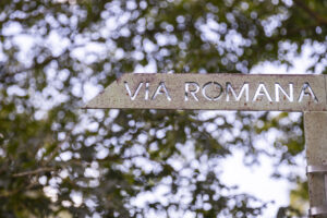
The Roman Road
-
Difficulty: Short
-
Distance: 3.9km
-
Accumulated drop: 81m
-
Time: 1.20h
-
Campdevànol - Sant Llorenç
-
Difficulty: Short
-
Distance: 7.2km
-
Accumulated drop: 78m
-
Time: 2h
The Roman Road
-
Difficulty: Short
-
Distance: 3.9km
-
Accumulated drop: 81m
-
Time: 1.20h

Create your route
Create your route and download the application to your mobile phone so you can enjoy it instantly.

