Campelles – Refugi Pla de Prats
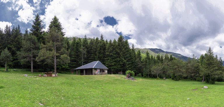
The trail from Campelles to the Pla de Prats refuge hut takes you into the Montgrony range to a refuge hut 1,559 metres above sea level that is an ideal place to enjoy nature and the scenery.
Other routes of interest
-

Font del Clot dels Vents - Font dels Pintors
-
Difficulty: Short
-
Distance: 7.42km
-
Accumulated drop: -
-
Time: 2.10h
-
-

Coll de la Gralla - Coll de Tres Pics
-
Difficulty: Short
-
Distance: 8km
-
Accumulated drop: 439m
-
Time: 3.40h
-
Font del Clot dels Vents - Font dels Pintors
-
Difficulty: Short
-
Distance: 7.42km
-
Accumulated drop: -
-
Time: 2.10h
Coll de la Gralla - Coll de Tres Pics
-
Difficulty: Short
-
Distance: 8km
-
Accumulated drop: 439m
-
Time: 3.40h

Create your route
Create your route and download the application to your mobile phone so you can enjoy it instantly.

