Campdevànol – Ripoll
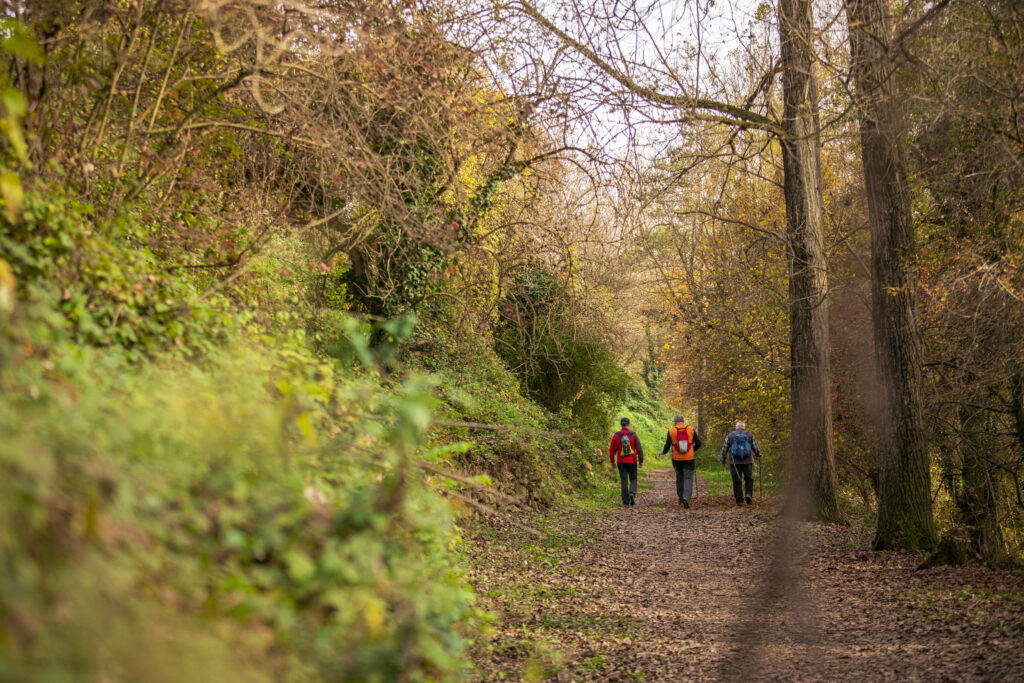
It follows the course of the old royal roads that linked the towns of Campdevànol and Ripoll, on either side of the River Freser. Hikers are struck by the abundance of woodland and well-preserved agricultural plains.

Other routes of interest
-

Puig de les Tres Creus
-
Difficulty: Short
-
Distance: 3.80km
-
Accumulated drop: 140m
-
Time: 1.20h
-
-

Return to the Gra de Fajol
-
Difficulty: High
-
Distance: 10km
-
Accumulated drop: 950m
-
Time: 5.10h
-
Puig de les Tres Creus
-
Difficulty: Short
-
Distance: 3.80km
-
Accumulated drop: 140m
-
Time: 1.20h
Return to the Gra de Fajol
-
Difficulty: High
-
Distance: 10km
-
Accumulated drop: 950m
-
Time: 5.10h

Create your route
Create your route and download the application to your mobile phone so you can enjoy it instantly.

