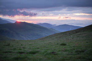
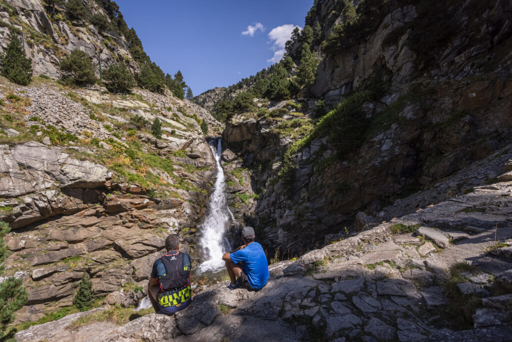
Camí vell de Núria
On this route we will be able to enjoy deciduous and coniferous forests, screes, cliffs, attractive waterfalls on the river Núria, but also bucolic places such as the lake and the Sanctuary of Núria.

Other routes of interest
-

From Vilallonga de Ter to Setcases through the ''Nen de Llebro''
-
Difficulty: Short
-
Distance: 7.5km
-
Accumulated drop: 540m
-
Time: 2.20h
-
-
Climb up Puig Cerverís
-
Difficulty: High
-
Distance: 13.1km
-
Accumulated drop: 985m
-
Time: 4.30h
-
From Vilallonga de Ter to Setcases through the ''Nen de Llebro''
-
Difficulty: Short
-
Distance: 7.5km
-
Accumulated drop: 540m
-
Time: 2.20h
Climb up Puig Cerverís
-
Difficulty: High
-
Distance: 13.1km
-
Accumulated drop: 985m
-
Time: 4.30h

Create your route
Create your route and download the application to your mobile phone so you can enjoy it instantly.

