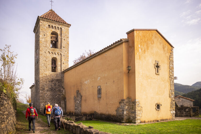
Campdevànol – Sant Llorenç
Historical communication route between the neighboring municipalities of Campdevànol. Currently, this path can be done on foot or by mountain bike. We suggest you do a section. We will pass by the Sant Eudald fountain, the Font de Querol recreational area and the Romanesque hermitage of Sant Llorenç, following the course of the Merdàs river and with riverside vegetation such as alders, poplars and thorns.
Other routes of interest
-

Santa Magdalena de Perella
-
Difficulty: Short
-
Distance: 6.7km
-
Accumulated drop: 225m
-
Time: 2.50h
-
-

Font de Sant Ramon - Font d'Engordans
-
Difficulty: Short
-
Distance: 6.34km
-
Accumulated drop: -
-
Time: 1.50h
-
Santa Magdalena de Perella
-
Difficulty: Short
-
Distance: 6.7km
-
Accumulated drop: 225m
-
Time: 2.50h
Font de Sant Ramon - Font d'Engordans
-
Difficulty: Short
-
Distance: 6.34km
-
Accumulated drop: -
-
Time: 1.50h

Create your route
Create your route and download the application to your mobile phone so you can enjoy it instantly.

